Adventure
Glacier-free Marmolada: Punta Penia via Val Contrin
A glacier-free route to Punta Penia on Marmolada: parking at Alba di Canazei, Val Contrin, the west ridge via ferrata, photos and a 3D route map.
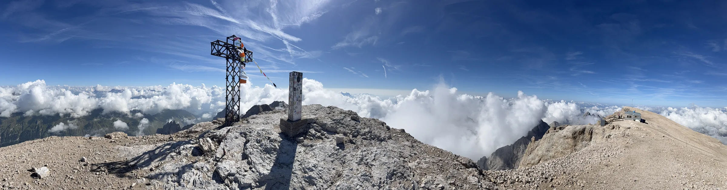
I climbed Punta Penia, the highest peak in the Dolomites, on 9 August 2026 using a glacier-free route from Alba di Canazei. I approached through Val Contrin, climbed the west ridge via ferrata (Cresta Ovest) and returned the same way, without crossing the glacier.
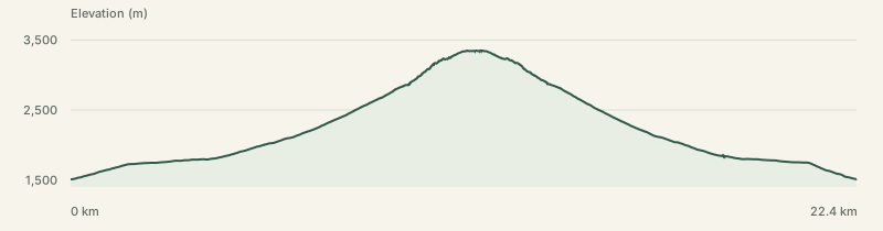
If you’re looking for a way up Marmolada without a glacier crossing, the approach and descent are the important details. The day was 22.4 km, 1,887 m of ascent and 10 hours 34 minutes, starting and finishing in the valley.
Parking in Alba di Canazei
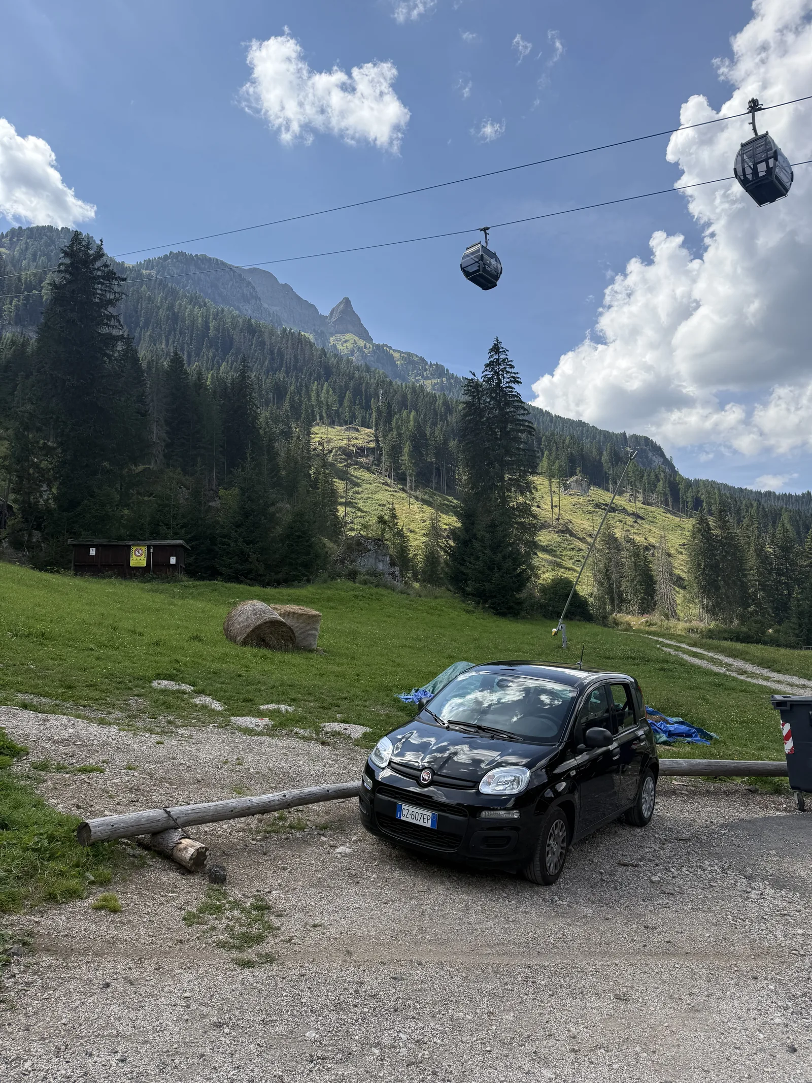
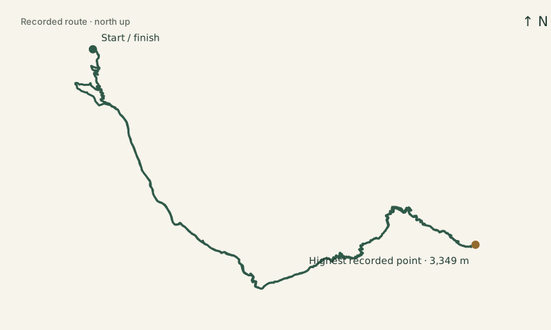
I parked by the Ciampac lifts in Alba di Canazei, at about 1,500 metres. This is the start and finish of the recorded route shown below.
The glacier-free approach through Val Contrin
From Alba, I followed the valley approach past Rifugio Contrin, then continued up the southern side towards Forcella Marmolada. From the saddle, the west-ridge via ferrata leads towards Punta Penia.
This is the distinction to look for when comparing routes: an itinerary described simply as “Marmolada west ridge” may approach from Passo Fedaia and include glacier terrain. The southern approach described by local mountain guide Bruno Belligoli goes from Contrin to the saddle without a glacier crossing and returns through Contrin.
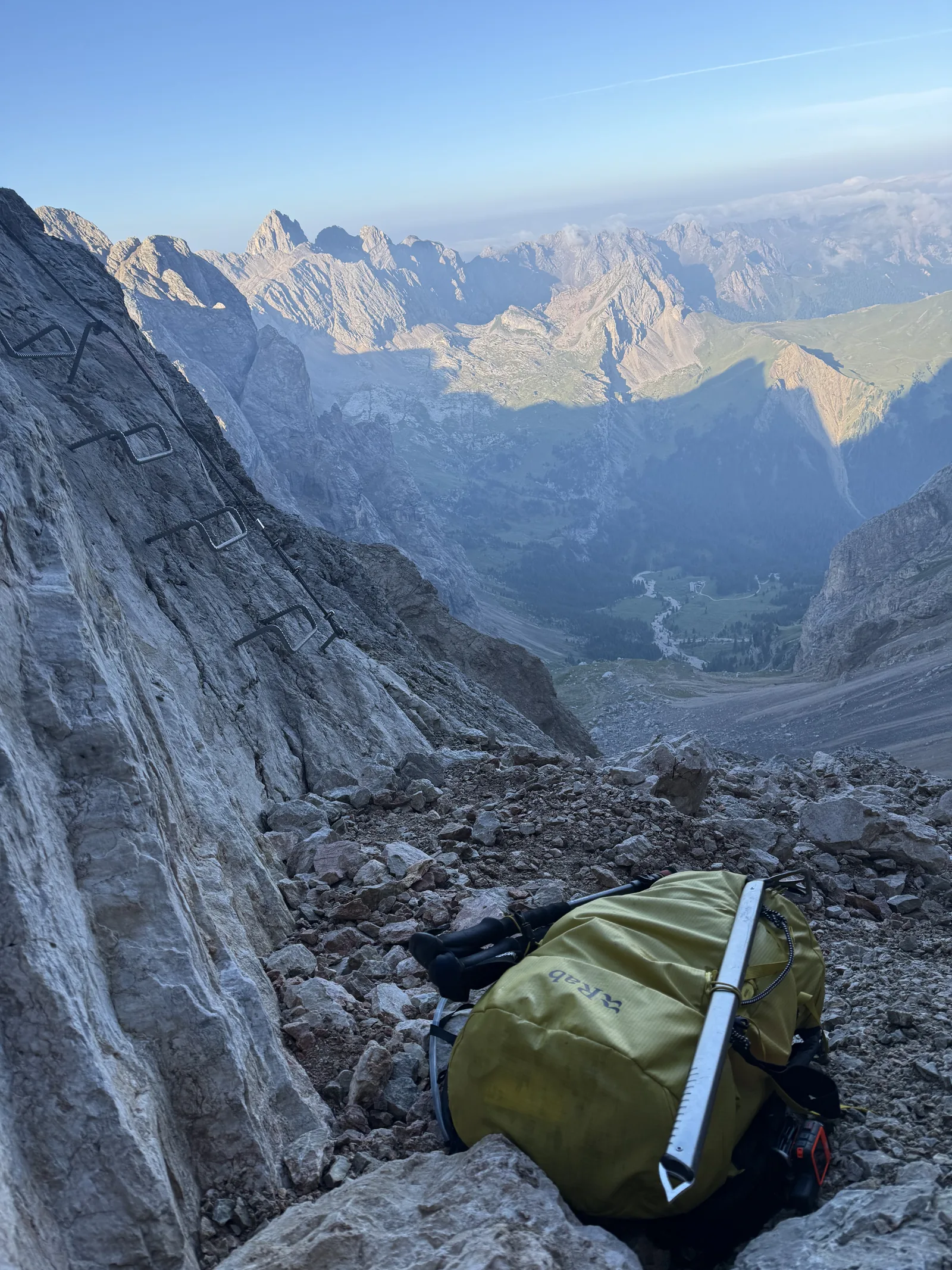
The early video was taken at 05:35. By the 07:33 photo, the trees had given way to steep rock, with the pack resting beside the cables.
West ridge via ferrata to Punta Penia
The upper part follows the west ridge, also called the Cresta Ovest via ferrata. It is a climb with fixed cables and exposed terrain, so the glacier-free approach still leads to an alpine via ferrata.
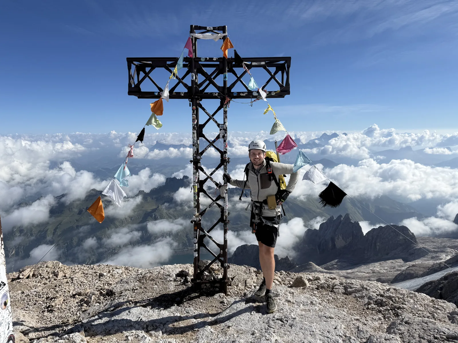
The summit photo was taken at 09:30. Punta Penia is 3,343 metres high and the highest point in the Dolomites. The watch recorded a maximum of 3,349 metres. The wide panorama at the top of this post was taken at 10:06.
Return down the west ridge
To keep the whole outing glacier-free, I descended the west-ridge via ferrata and returned through Val Contrin to Alba. I did not use the north-side glacier descent described in some circular itineraries.
The clip below was taken at 10:42 on the descent. I was back at the car by 14:36. Allow for the return down the ferrata as well as the long walk back through the valley when planning this version of the route.
3D map of the glacier-free Marmolada route
Rotate and tilt the map to see the southern approach and west ridge, or switch to the overhead view. The numbered markers open the photos and videos, and the elevation profile shows the full climb and return.
Open the route map full size · View the route outline · View the elevation profile
Conditions
Conditions vary, and the experience on this trip may not be representative of what you encounter on the same route.